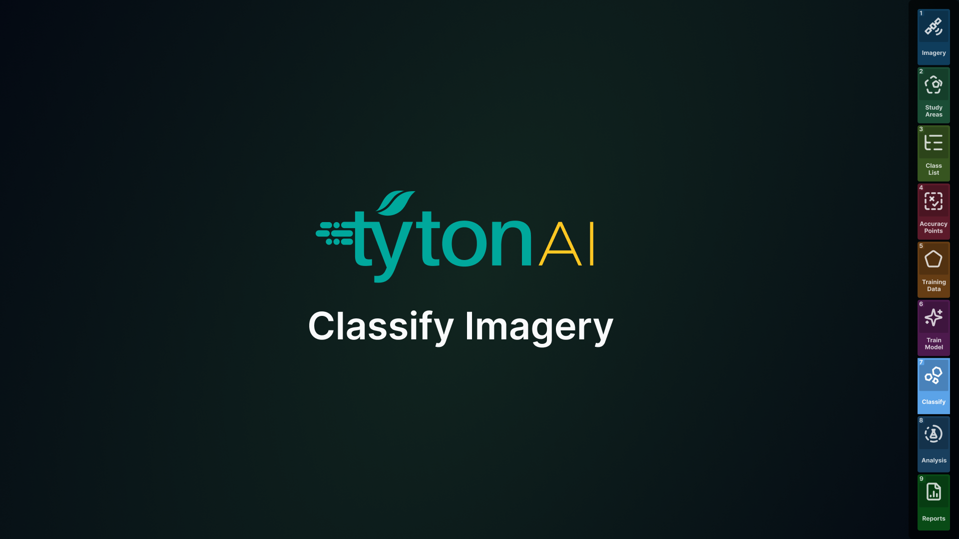
In this module, you’ll learn how to generate classification outputs using your trained models. You’ll practice selecting a study area, choosing the appropriate model, and running classifications to produce results you can review and refine.
We’ll also cover how to adjust classification visibility on the map, toggle classes on and off, and use Classify Polygonise to convert results into editable polygons for further training. Finally, you’ll learn how to run erosion-specific classifications and manage results in the Explorer panel. By the end, you’ll be able to confidently run and interpret classifications to create accurate datasets for analysis.